
Agriculture & Forestry
The service that you need for Agriculture & Forestry Development
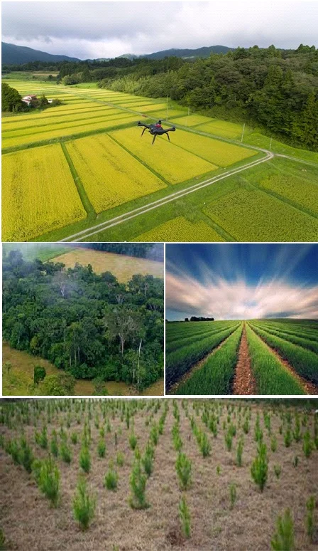
Agriculture
Paccex offers country wide, state and district level reliable agri-intelligence data for crop acreage estimation, yield estimation, crop cutting and cropping pattern, crop stress and health monitoring to agri-stakeholders including planners, insurance companies and policy makers. This information offers an accurate understanding to the client for taking business decisions across the agri value chain viz. procurement, storage, public distribution, export, import and many other related issues. We provide:
- Crop acreage estimation
- Land use development planning
- Crop yield and production estimation
- Crop stress and health monitoring
- Agricultural crop conditions and assessments
- Crop Cutting analysis for crop insurance sectors
- Detailed land use and land cover mapping
- Crop change detection analysis
- Precision framing analysis and advisory
- Site suitability studies and management for Horticultural Crops and storage structure facility.
Forestry
Paccex develops and analysis forest resource information systems using satellite imagery coupled with spatial database and field inputs which can be linked to physical forest attributes, types mapping and analysis. Regularly using latest satellite imagery information for quick decision for forest fire, deformation and degradation analysis. RS and GIS information systems gives latest situation for sustainable management of forest.
- Biophysical characteristics for Agro-forestry systems.
- Biomass productivity and carbon dynamics
- Land Use/Land Cover Change
- Forest vulnerability
- Forest Resource Information Systems
- Forest survey and sampling
- Spatial representation analysis and managements of forests
- Data integration, modeling and analytics for forest conservation
- Forest fire mapping and management.
- Remote sensing and GIS techniques for forest inventory, forest type mapping on density and species.