

Internet Of Thing

Security System

Research And Development
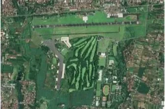
Imagery Services
Our imagery services include image data conversion, processing, interpretation and analysis satellite imagery datasets.
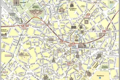
Cartography & Mapping
Paccex has extensive expertise in providing cartography mapping services to clients worldwide including cartographic styling..
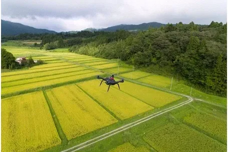
Agriculture & Forestry
Paccex offers country wide, state and district level reliable agri-intelligence data for crop acreage estimation...
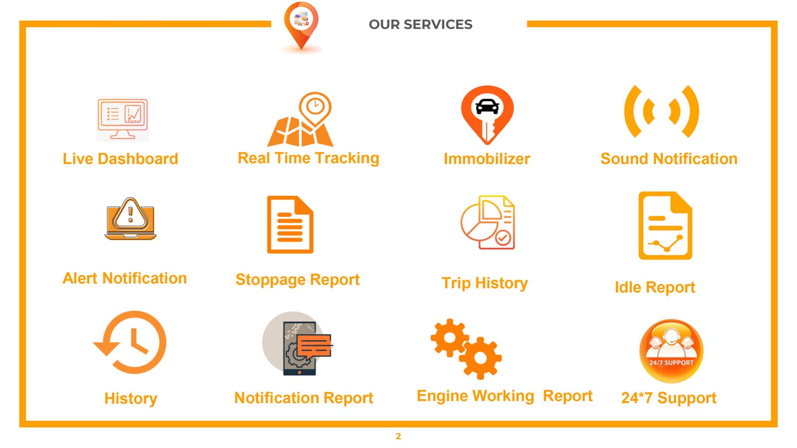
Route sense Innovation
Our comprehensive system is designed to provide you with real-time insights and control over your vehicles....